Abbey Cwmhir Heritage Trust is grateful to the Radnorshire Society and those other organisations who have allowed their publications to be reproduced here.
Lovell, J. The Fowlers of Harnage Grange and Abbey-Cwm-Hir: C.1560-1828. A copy of this article is given here . TRS 2015 Julian Lovell – Fowlers
Coward, R. The Seal of Cwm Hir Abbey. Radnorshire Society Transactions 2018. A copy of this article is given here .TRA 2018 Roger Coward – Abbey Seal
Lovell, J. Abbey Cwmhir Heritage Trust: Community Engagement. A copy of this article is given here CBA Wales Newsletter 65 Spring 2023
Ravest, J. New Perspectives on Abbey Cwm Hir. Radnorshire Society Transactions 2019. A copy of this article is given hereTRS 2019 Julian Ravest – Abey precinct copy.
Lovell, J. The Fowlers of Abbey Cwm Hir. Radnorshire Society Transactions 2019. A copy of this article is given here TRS 2019 Julian Lovell – Fowlers copy
Coward, R. Man on a Goat. Radnorshire Society Transactions 2020. A copy of this article is given here TRS 2020 Roger Coward – Man on Goat copy
Lovell, J. Mystery of Cwm Hir Abbey. Radnorshire Society Transactions 2021 . A copy of this article is given here TRS 2021 Julian Lovell – Mystery of Abbey copy
Lovell, J. The Hidden History and Heritage of Abbey Cwmhir Radnorshire Society Transactions 2021 . A copy of this article is given here TRS 2022 Julian Lovel – Walk
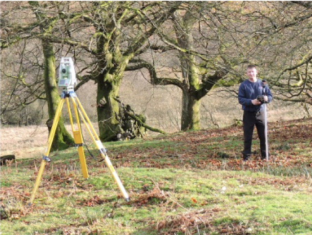
Pardoe, V., and Walters, M. Drone surveying over the Upper Afon Dulas: early results. Radnorshire Society Field Group Newsletter 2021
Lovell, J. The Encroachment Settlements of New Well Radnorshire Society Field Group Newsletter 2022
Coward, R. Old Carvings from Cwmhir Abbey and catalogue of Capital Decorations. Radnorshire Society Transactions 2022 . A copy of this article is given here TRS 2022 Roger Coward – Carvings copy
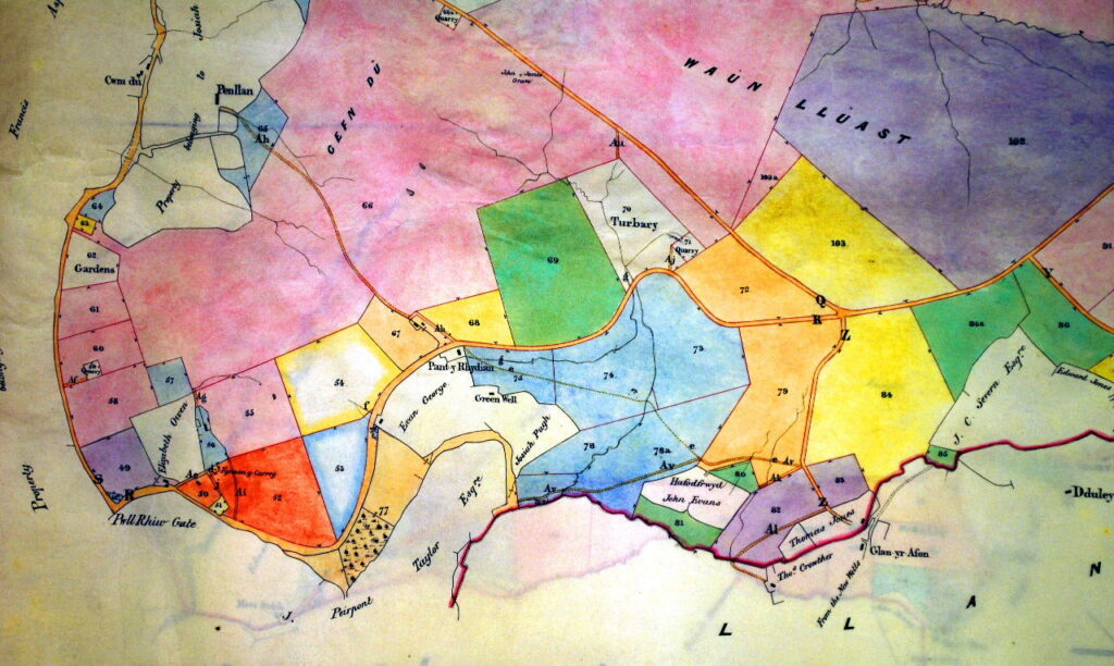
Austin, D., and Ravest, J. Recent work on the precinct of Abbey Cwmhir, Radnorshire Arch. Cam. 2022
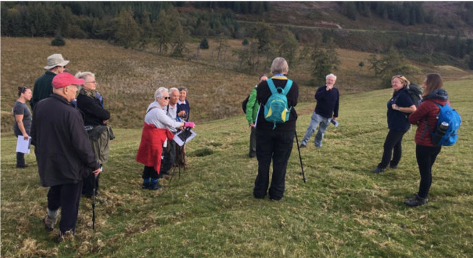
Bezant, J. Lovell, J. Ravest, J. Walters, M. and Olivant, P. Survey of an Upland Landscape on the Golon Grange of Abbey Cwmhir, Radnorshire. Archaeology in Wales V62 2023
Lovell, J. The Evolution of the Cwmhir Abbey Estates. Radnorshire Society Transactions 2023 A copy of this article is given here TRS 2023 Julian Lovel – Post dissolution Estates
Swindell, A. Dolhelfa: Continuity and change in the area occupied by a former grange of Abbey Cwmhir. Radnorshire Society Transactions 2023 . A copy of this article is given here TRS 2023 Angela Swindell – Dolhelfa copy
Ravest, J. The 1200 Mortimer charter to Abbey Cwmhir revisited. Radnorshire Society Transactions 2023 . A copy of this article is given here TRS 2023 Julian Ravest – Mortimer Charter copy
Ravest, J. Medieval Llaithddu. Radnorshire Society Transactions 2023 . A copy of this article is given here TRS 2023 Julian Ravest – Llaithdu