Drone Photography
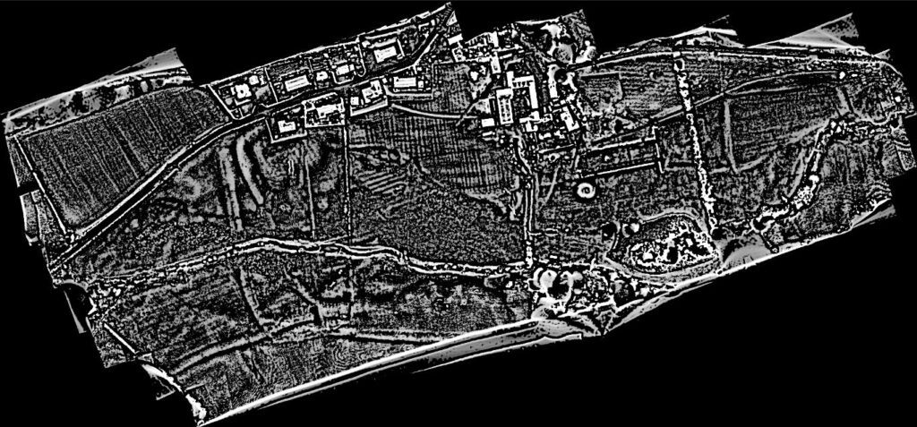
Julian Ravest has conducted a photographic and photogrammetric survey of the Cwmhir Abbey precinct and adjacent areas using a drone. Nearly 200 photographs with a ground resolution of around 2.5cm/pixel were taken in normal light and used to create a 3-D digital model of the precinct area. Areas of special interest were covered at higher resolution by flying lower. Various computerised processes were employed to reveal aspects of the site for the first time. Together they show the complex impact of human intervention over some 850 years.
Two features among many are especially noteworthy as they have not been recorded previously. The first are marks of walls of a rectangular building in the transept area east of the Abbey ruins. A treeline cuts across the walls. These walls, despite being sub-surface, subtly alter the shape of the surface and can be picked up by the very sensitive photogrammetric techniques used. This building is most likely a post- reformation house that we hope to investigate further. The second are features at either end of the precinct which may be part of the precinct boundary. Julian Ravest has suggested just inside the western boundary there are what could be defensive earthworks put up by the Royalist garrison during the Civil War. When the parliamentarians captured the Abbey in 1644 they despoiled the site, removing any possibility of it being fortified again. The present state of the Abbey with its reduced walls is, at least in part, due to this deliberate, destructive action .
Julian has made a short video using his drone images to give his personal view of the Abbey. To see the video press here.
A fuller account of the results of the photogrammetric survey can be found in The Transactions of the Radnorshire Society; 2019, Vol 89, pp56-77.