Excavation at Cwmffwrn 2024
This grant will enable us to work alongside Trysor archaeological and heritage services to gain a greater understanding of the history of our Welsh uplands,
This grant will enable us to work alongside Trysor archaeological and heritage services to gain a greater understanding of the history of our Welsh uplands,
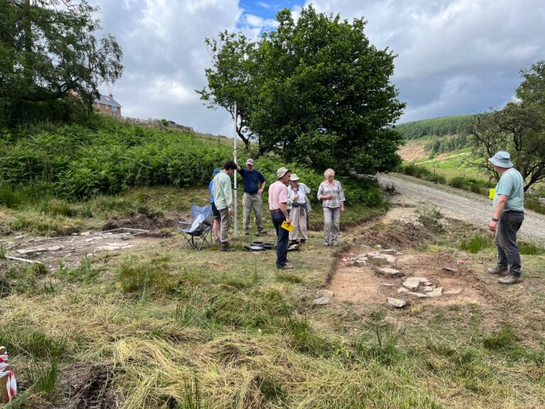
We have begun to excavate a house platform at Cwmffwrn. We held a public weekend on 24/25th June 2023 and had the pleasure of the
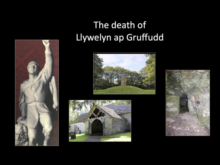
The Mysterious Events at Orewyn Bridge, 11th December 1282 The Death of Llywelyn ap Gruffydd The Protagonists: an uneven balance of forces English Forces
Where were the granges that belonged to Cwmhir Abbey? People who have been on our Expert Led training events will know that we are interested
Abbey Cwmhir Heritage Trust has hosted various field days and an on-line talk related to botany and plants. These events have looked at the botany
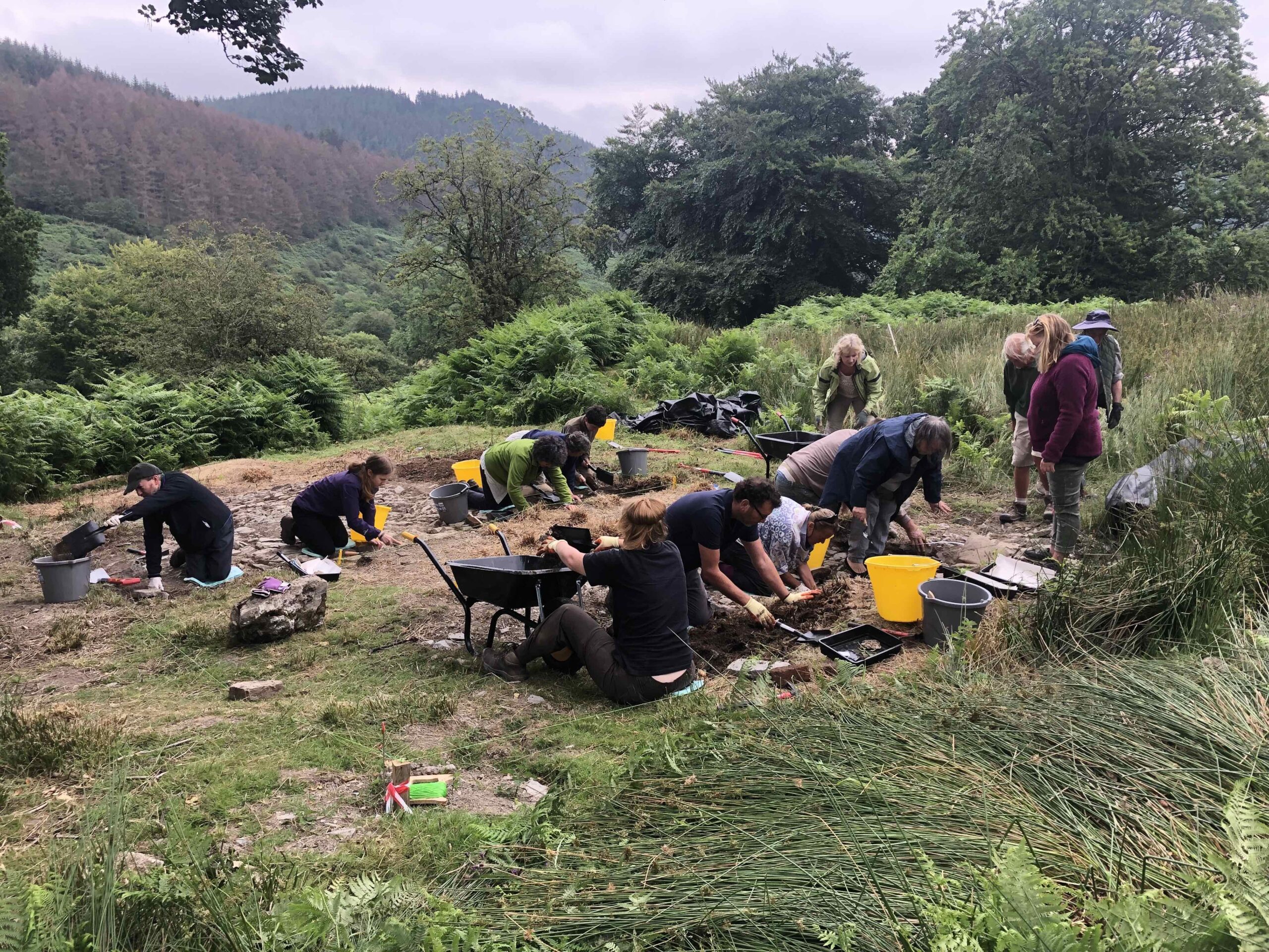
Excellent Public Open Days at the Trust’s excavation at Llanerchdirion farmstead, Cwmffwrn Farm. The Trust hosted public open days on 25/26th July at its first
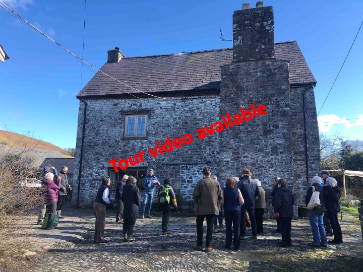
We were very fortunate to have Ross Cook to lead us for our field day, where we visited two contrasting 16th Century building survivals in
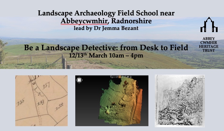
To book a place on this Field School click here
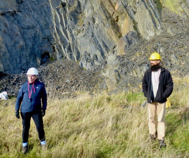
Our geology field school was very well attended. On our first day, Dr Joe Botting took us on a familiarisation walk, to see the geologically